The Map Is Not the Agreement: A Common Border Myth
A map shows a border’s position, but understanding the line means checking the agreement, recognition and practical arrangements that give it meaning.
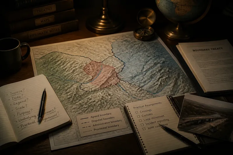
What does a line on a map actually tell you about a border? A map can show where a boundary is represented, but it cannot, by itself, tell you whether neighbouring governments agree on its position, how they manage it or what happens when they interpret it differently. The distinction matters because a clear-looking line may stand for a complicated diplomatic arrangement.
What does a map show?
A political map is a representation: a selected view of territory, drawn at a particular scale for a particular purpose. Its lines simplify geography so a reader can distinguish states, regions or administrative areas. They are not the border itself, nor do they automatically establish what governments have agreed.
At small scales, a cartographer may need to simplify a river bend, mountain ridge or coastline. A narrow line can cover a broad area on the ground, while the map’s projection can alter how distances and shapes appear. These choices help make a map readable, but they also mean it should not be treated as a precise legal instrument.
Think of a map as a label on a drawer: it helps you locate what is inside, but it does not tell you who owns the contents or how the drawer is shared. To understand a border, you need to ask what arrangement the line is intended to represent.
What makes a border agreed?
A boundary arrangement can rest on several kinds of evidence and practice. Governments may set out their understanding in a treaty or another formal instrument. They may also rely on agreed records, official maps, established administrative practice or later communications that clarify how an earlier arrangement should be read.
Diplomatic recognition is related but not identical to drawing a line. A government can recognise another state while holding a different view about the location of part of their boundary. Conversely, states may manage a disputed area through practical arrangements without settling every question about sovereignty.
The relevant material depends on the particular border. A map published by one country may express that country’s position rather than a shared agreement. A jointly prepared map attached to a treaty may have a different role, especially if the treaty specifies how to interpret it. The document’s context and wording matter more than the mere presence of a line.
How do borders get managed?
Recognition and day-to-day management are separate tasks. A border can be formally recognised yet still require cooperation over crossings, customs, policing, river use or local movement. Conversely, officials may coordinate practical matters even while governments disagree about the final status of a stretch of territory.
Management can involve border commissions, local authorities, customs services and diplomatic channels. Their responsibilities might include maintaining markers, sharing information about crossings, addressing incidents or reviewing how a boundary is represented in official records. These arrangements do not necessarily settle every legal question; they can provide ways to handle recurring needs while discussions continue.
Geography shapes the work. A boundary following a river may raise questions about changes in the channel, while a line through a settled area can affect roads, farms and community access. On a mountain ridge, the challenge may be making a written description correspond to terrain that is difficult to reach. The map displays a simplified line; management concerns the relationships and decisions around it.
Why can maps disagree?
Maps can differ because they were made for different audiences, rely on different source documents or reflect different official positions. One may show a disputed area as part of one state, while another marks it separately or uses a boundary symbol that signals uncertainty. A difference is evidence of disagreement in representation, not by itself proof that one map resolves the dispute.
Even maps produced by the same authority can vary in detail. A classroom atlas may simplify a boundary for clarity, while a government chart may include more precise local features. Publication date, scale, legend and stated purpose all help explain what a map is claiming to show.
Say two neighbouring governments issue maps that place a boundary differently near a river crossing. They then agree to keep the crossing open under a temporary local arrangement while their officials compare the relevant treaty text and maps. The observable result would be continued practical coordination, not a settled boundary simply because one published map uses a particular line.
What should you check first?
Start with the source and purpose of the map, then look for the documents and arrangements behind its boundary. A useful reading sequence is:
- Publisher: Identify which government, organisation or mapmaker issued it; this helps distinguish an official position from a neutral reference map.
- Date: Check when it was prepared or revised, since it may reflect a position or arrangement that has since changed.
- Legend: Look for separate symbols for agreed, disputed, provisional or administrative boundaries.
- Scale and detail: Note whether the map is designed to show broad political divisions or precise local geography.
- Source notes: See whether it cites a treaty, commission, survey or other underlying document.
- Practical arrangements: Check whether official material describes crossings, joint bodies or procedures for handling incidents.
If the map cites an agreement, the next question is what the agreement says about that map. It may incorporate the map as part of the instrument, use it only as an illustration or refer to a written description that takes precedence. The answer depends on the wording and the context, not on visual confidence.
What questions should readers ask?
Does a line on a map prove sovereignty?
No. A map can record a claim or illustrate an agreed boundary, but the line alone does not establish which of those functions it serves. Read it alongside relevant agreements, official explanations and the circumstances in which it was published.
Can a border be disputed but still managed?
Yes. Governments may arrange how people, goods or officials move through an area while leaving the underlying territorial disagreement unresolved. Practical cooperation should not be mistaken for a final settlement.
Are all maps equally authoritative?
No. Their authority depends on who made them, why they were made and whether an agreement gives them a defined role. A map in a treaty or joint record may carry a different significance from a general reference map.
What if the agreement and map seem to differ?
Check the agreement’s wording, any rules it gives for interpreting attached maps and the other documents it identifies. If the issue has legal or diplomatic consequences, specialist advice may be needed rather than relying on a map-reading alone.
Why the distinction matters
Confusing representation with agreement can make a border dispute look simpler than it is. A map may make competing claims visible, but it cannot show every negotiation, joint procedure or unresolved question behind the line. That context helps explain why governments sometimes accept the same map for one purpose yet disagree about what it means elsewhere.
When you encounter a border line, treat it as a starting point for inquiry. Ask who drew it, what document supports it and how neighbouring authorities deal with the territory in practice. The map shows where someone places the line; the agreement and its management explain what that line means.